
Wind chill and frostbite time calculator
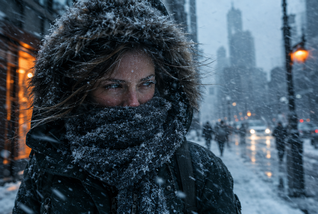
Enter air temperature and wind speed, and the calculator applies the 2001 wind chill index used by the US National Weather Service and Environment Canada. At 0°F with a 15 mph wind, wind chill is -19°F (about -29°C). Environment Canada rates wind chills from -28 to -39 as high risk: exposed skin can freeze in 10 to 30 minutes.
Wind chill and frostbite time calculator
Uses the 2001 wind chill index shared by the US National Weather Service and Environment and Climate Change Canada. Frostbite times follow Environment Canada's risk categories.
Wind speed is the forecast wind at 10 m (33 ft), as weather services report it. The index assumes a clear night with no sun; sunshine makes it feel warmer. In sustained winds over 50 km/h (31 mph), frostbite can happen faster than shown. Exposed skin can only freeze when the air temperature is below freezing. Warning thresholds differ by region in both countries, so follow your local weather service.
How do you use the wind chill calculator?
Choose your units, then enter the air temperature and the sustained wind speed from your local forecast or a handheld anemometer. The calculator returns the wind chill value and the frostbite risk band for exposed skin, with the time range published for that band.
Use the highest sustained wind you expect, not the daily average. Open ridges, rooftops, frozen lakes and loading docks are often windier than the forecast station, and your own speed on a bike, snowmobile or skis adds to the wind on your face.
Step 1: pick °F and mph, or °C and km/h.
Step 2: enter air temperature and wind speed.
Step 3: read the wind chill value and the risk band.
Step 4: check the time to frostbite and plan cover for face, ears and hands.
What formula does the wind chill calculator use?
Both countries use the same index, adopted in 2001, written in two unit systems. The NWS publishes the Fahrenheit form, and Environment and Climate Change Canada (ECCC) publishes the metric form, with wind measured at 10 meters. For the background on how the index was built, see our wind chill explainer; this page covers the math and the limits.
Outside the validity limits the index is not defined, so the calculator shows the air temperature instead. ECCC also publishes a separate low-wind formula for winds above 0 but below 5 km/h, which the calculator uses in metric mode.
| Form | Formula | Valid when |
|---|---|---|
| NWS (°F, mph) | WC = 35.74 + 0.6215T minus 35.75V^0.16 plus 0.4275T V^0.16 | T at or below 50°F and V above 3 mph |
| ECCC (°C, km/h) | W = 13.12 + 0.6215T minus 11.37V^0.16 plus 0.3965T V^0.16 | T at or below 0°C and V at or above 5 km/h |
| ECCC low wind (°C, km/h) | W = T + [(-1.59 + 0.1345T)/5] V | T at or below 0°C and V above 0 but below 5 km/h |
How long until frostbite at a given wind chill?
ECCC publishes six risk bands tied to the wind chill value, with explicit frostbite times from the high band down. The NWS chart shades cells for frostbite in 30, 10 and 5 minutes but does not publish those zones as numeric cutoffs, so the calculator uses the ECCC bands and shows °F equivalents.
ECCC adds that in sustained winds over 50 km/h (31 mph), frostbite can occur faster than indicated. It also notes that the risk at a wind chill of -28 is the same as at an air temperature of -28°C with no wind, but frostbite will occur faster with wind.
| ECCC risk band | Wind chill (°C scale) | Approx. °F | Exposed skin can freeze in |
|---|---|---|---|
| Low | 0 to -9 | 32 to 16 | Not stated (slight discomfort) |
| Moderate | -10 to -27 | 14 to -17 | Risk with prolonged exposure |
| High | -28 to -39 | -18 to -38 | 10 to 30 minutes |
| Very high | -40 to -47 | -40 to -53 | 5 to 10 minutes |
| Severe | -48 to -54 | -54 to -65 | 2 to 5 minutes |
| Extreme | -55 and colder | -67 and colder | Under 2 minutes |
What do worked examples look like?
The rows below were computed with the published formulas and rounded to whole degrees, as ECCC does. The three metric rows match the worked examples ECCC publishes on its wind chill page.
| Air temperature | Wind | Wind chill | ECCC band |
|---|---|---|---|
| 0°F | 15 mph | -19°F (about -29°C) | High: 10 to 30 min |
| -10°F | 20 mph | -35°F (about -37°C) | High: 10 to 30 min |
| -20°F | 30 mph | -53°F (about -47°C) | Very high: 5 to 10 min |
| -15°C | 20 km/h | -24 | Moderate |
| -20°C | 30 km/h | -33 | High: 10 to 30 min |
| -30°C | 40 km/h | -48 | Severe: 2 to 5 min |
What can a wind chill calculator not tell you?
Wind chill describes heat loss from dry, exposed skin in shade. The NWS is explicit that frostbite requires the actual air temperature near the skin to be below freezing; for example, at 34°F in a strong wind, the wind chill may read below 32°F, but exposed skin will not freeze.
The number also does not account for sunshine, wet skin or clothing, contact with cold metal, exertion or individual differences in how people respond to cold. Use the times as an outer limit for planning, not a guarantee.
Watch for numbness, pale or waxy skin and skin that feels unusually firm, and move indoors at the first signs. Anyone with symptoms that do not resolve after warming should talk to a clinician or seek urgent care.
Do wind chill warning thresholds vary by region?
Yes, in both countries. In the US, NWS offices set local criteria for Cold Weather Advisories and Extreme Cold Warnings. The Lincoln, Illinois office, for example, issues Extreme Cold Warnings at -25°F or colder in its northern counties and -20°F or colder in its southern counties.
ECCC states that its cold warnings are issued at different temperatures depending on where you live, based on regional weather impact guides. A value that triggers a warning in Toronto may be routine in Yellowknife. Check the current alert for your area rather than relying on a single national number.
Key takeaways
The US and Canada use the same 2001 wind chill index; only the units differ.
The index is defined at or below 50°F with winds above 3 mph (NWS), or at or below 0°C with winds of 5 km/h or more (ECCC main formula).
ECCC: exposed skin can freeze in 10 to 30 minutes at wind chills of -28 to -39, and in under 2 minutes at -55 or colder.
Frostbite requires air temperature below freezing, whatever the wind chill reads.
Warning criteria are set regionally, so follow your local alert.
Frequently asked questions
What is the wind chill at 0°F with a 15 mph wind?
The NWS formula gives -19°F, about -29°C. On the ECCC scale that is high risk, where exposed skin can freeze in 10 to 30 minutes.
How do I calculate wind chill in Celsius?
Use the ECCC formula W = 13.12 + 0.6215T minus 11.37V^0.16 plus 0.3965T V^0.16, with T in °C and wind V in km/h at 10 meters. It applies at or below 0°C with winds of at least 5 km/h.
At what wind chill does frostbite start?
ECCC gives the first explicit frostbite time at a wind chill of -28 (about -18°F), where exposed skin can freeze in 10 to 30 minutes. Frostbite is still possible at milder wind chills with prolonged exposure, wet skin or contact with cold metal.
Can you get frostbite when it is above freezing but the wind chill is below 32°F?
No. The NWS states that exposed skin can only freeze if the actual air temperature near the skin is below freezing. Wind speeds up cooling toward the air temperature but cannot take skin below it. Hypothermia is still possible in cold, wet or windy conditions above freezing.
Why does my weather app show a different wind chill?
Apps may use a different wind height, a gust instead of sustained wind, or a feels-like index that blends wind chill with humidity or sun. Official wind chill uses sustained wind and the 2001 formula.
From HEATJAC
We design low-profile thermal garments: a heat-reflective vest and a thermal harness with pockets for warmers or cold packs.
Choosing gear? The thermal gear buying, safety and care guide · What warmth costs per shift
Related reading
Sources
Wind Chill Chart, National Weather Service
Wind Chill Chart and Frostbite Times (effective 11/01/01), National Weather Service
Wind chill and the Wind Chill Index, Environment and Climate Change Canada
Technical documentation: Historical Hourly Climate Station Data (wind chill formulas), Environment and Climate Change Canada
Extreme cold event and cold warnings, Environment and Climate Change Canada
Changes to Cold Weather Related Headlines, National Weather Service, Lincoln IL
About HEATJAC. HEATJAC is a thermal architecture company founded by an anesthesiologist. We design patented garment systems that capture, conduct and broaden warmth across the body, and we publish this knowledge hub because the science of staying warm should be public. HEATJAC products are not medical devices and are not intended to diagnose, treat, cure or prevent any disease.